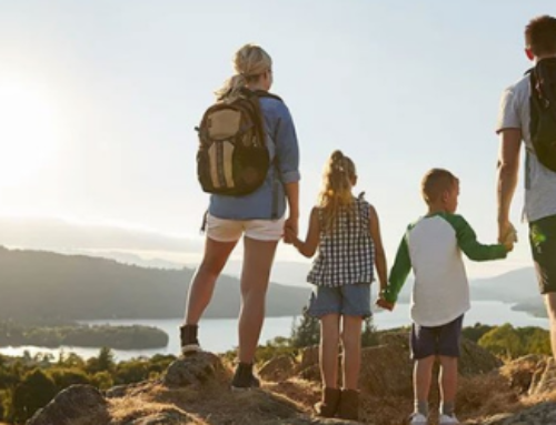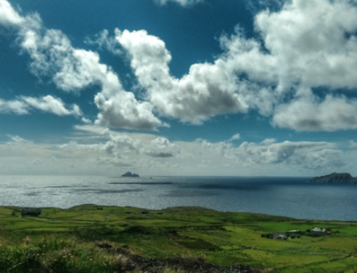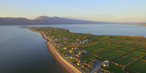
CROMANE PENNINSULA WALK
First, you can park at Cromane Beach Carpark and take a stroll along Cromane Peninsula – either on the roadway or along the beach passing ‘The Slip’ where fishermen once launched their fishing boats and brought in their haul. Follow the road all the way to what is know as “The Point” where fishermen can be seen going about their business in an area famed for its Mussels and Oysters. Along your walk you will see so much birdlife as well as protected salt marshes. This walk loops back to the Carpark.
View the Route Map HERE
CROMANE BOG & LAKE WALK
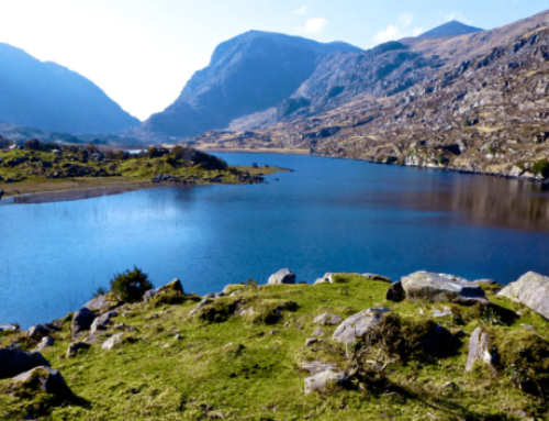
This time, you can park at the Cromane Community Centre (take a left at the Church and Cromane Community Centre is on your right). At the Community Centre take a right onto the main road – please note care taken on the main roadway. You will continue past Lough Yganavan ‘Lake of the White Sands’ and home to the local natterjack toad and some native swan.
Continue along the road through Stookisland until you come to a crossroads and on turning right will lead you up Dook’s Mountain road. On reaching the top you can continue on to the left along the road or alternatively as is mapped here take a right and then sharp left into a bogland road which leads you past another beautiful bog lake on the right and with some lovely off road views of traditional local bogland, this road loops back around to the main road where you can see some lovely views across Lough Yganavan and out to Cromane Peninsula.
Continue on this route until you reach the end of the road and turn left. You will travel again down a quiet road until the end, take a left turn onto the main Cromane road. When you reach this point you will see straight across a grassy roadway which leads to Glosha Pier, built to land fish on order to be taken away – the area still has some old boats remaining. Turning back onto Cromanes main road be careful of traffic and make your way back to Cromane Community Centre
View the Route Map HERE
CROMANE BEACH TO BURKETS ROAD
Park your car at Cromane Beach Carpark and head left down the beach and take in the beautiful sights across to Inch and Rossbeigh. This route will lead you along the shoreline (only at low tide) to a pier – make your way back onto the road here known locally as Burkets road and this will lead you to a crossroads where you will take a left and make your way back to Cromane Beach Carpark along the main road passing the lake. You can combine some longer routes with this walking route for a longer walk.
View the Route Map HERE
DOOKS MOUNTAIN WALK
Park at Cromane Carpark and turn left on the beach. Follow the shoreline all the way to Dooks Beach (this is dependent on tides – please ensure tide times). Return to the road at Dooks Beach- at the end of this road turn right onto Dooks Road (be careful of traffic) until you pass a quarry where you will turn left onto a quieter road – this will lead you past Lough Yganavan and local bogland, stay left and follow the road to the next turn where you will take a left. You will now be on the other side of the lake. Take a left here and then a right at the Church and this will bring you back to Cromane Beach Carpark